Humboldt Bay Area Bike Map
NEW! Online bike map- interactive and mobile friendly
In September 2021, HCAOG launched the online interactive bike map! The result is the most accurate bicycle map for Humboldt County as we had a dozen volunteers verify the data on the ground.
How to use the online bike map:
1. Navigate to https://hcaog.net/map from your mobile phone, tablet, or desktop internet browser.
2. In the upper right, click the compass symbol to navigate to your location.
3. Use the toggles on the side-bar to explore different bike routes and points of interest.
- Existing bike routes are shown in solid colors
- Connector routes are roads often used by cyclists, and are designated in dashed lines by their relative comfort level
- Icons show bicycle shops, bike rental locations, and tool stations
At this time, the tool does not work like Google Maps where you can get directions between two locations. There is no best way to get places by bicycle, as every person will have a different level of comfort. Using our map as a reference can help plan a route. Also note that Google Maps has some inaccurate bicycle route information.
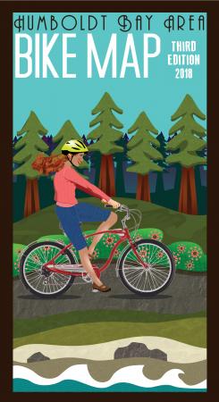
2018 Humboldt Bay Area Bike Map
Hundreds of these free bike maps were provided at local bike shops, book stores, hotels, and visitor centers. The current edition is running low, but you can still view and print the 2018 edition here:
Bike Map (3.15 MB)
Bike Map, back info (10.6 MB)